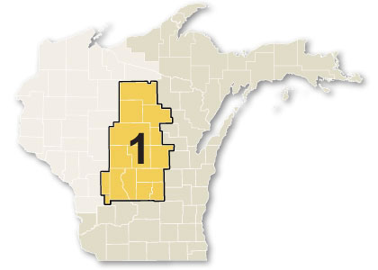
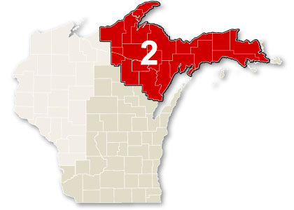
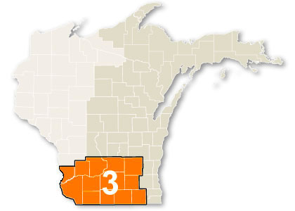
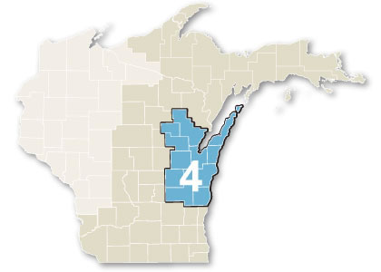
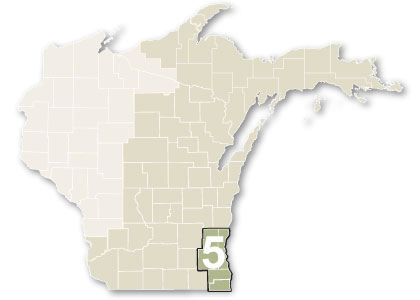
Zone location search
For planning purposes, we divide our service area into five planning zones representing distinct geographic or usage areas.
Select a zone to reveal its map coverage and its directory of connected counties.
Wisconsin
- Adams
- Brown
- Calumet
- Columbia
- Crawford (S)
- Dane
- Dodge
- Dodge (NE)
- Door
- Florence
- Fond du Lac (NW)
- Fond Du Lac (E)
- Forest (SW)
- Forest (N)
- Grant
- Green
- Green Lake
- Iowa
- Jefferson
- Juneau
- Kenosha
- Kewaunee
- Lafayette
- Langlade
- Lincoln
- Manitowoc
- Marathon
- Marinette (N)
- Marinette (S)
- Marquette
- Menominee
- Milwaukee
- Monroe (E)
- Oconto
- Oneida
- Outagamie
- Ozaukee
- Portage
- Racine
- Richland
- Rock
- Sauk
- Shawano (W)
- Shawano (E)
- Sheboygan
- Vernon (E)
- Vilas (S)
- Vilas (N)
- Walworth
- Washara
- Washington
- Waukesha
- Waupaca
- Winnebago (W)
- Winnebago (E)
- Wood